
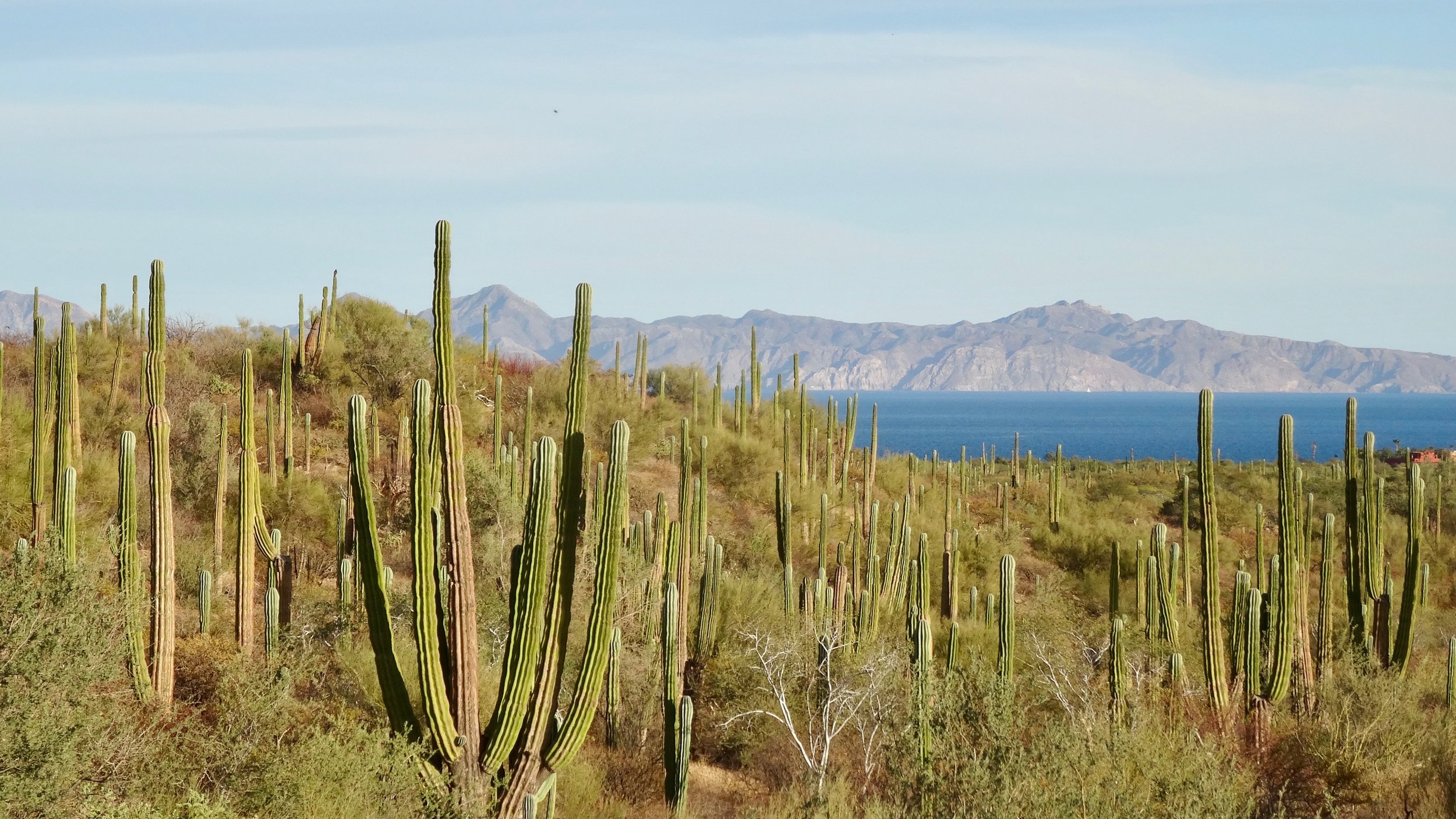
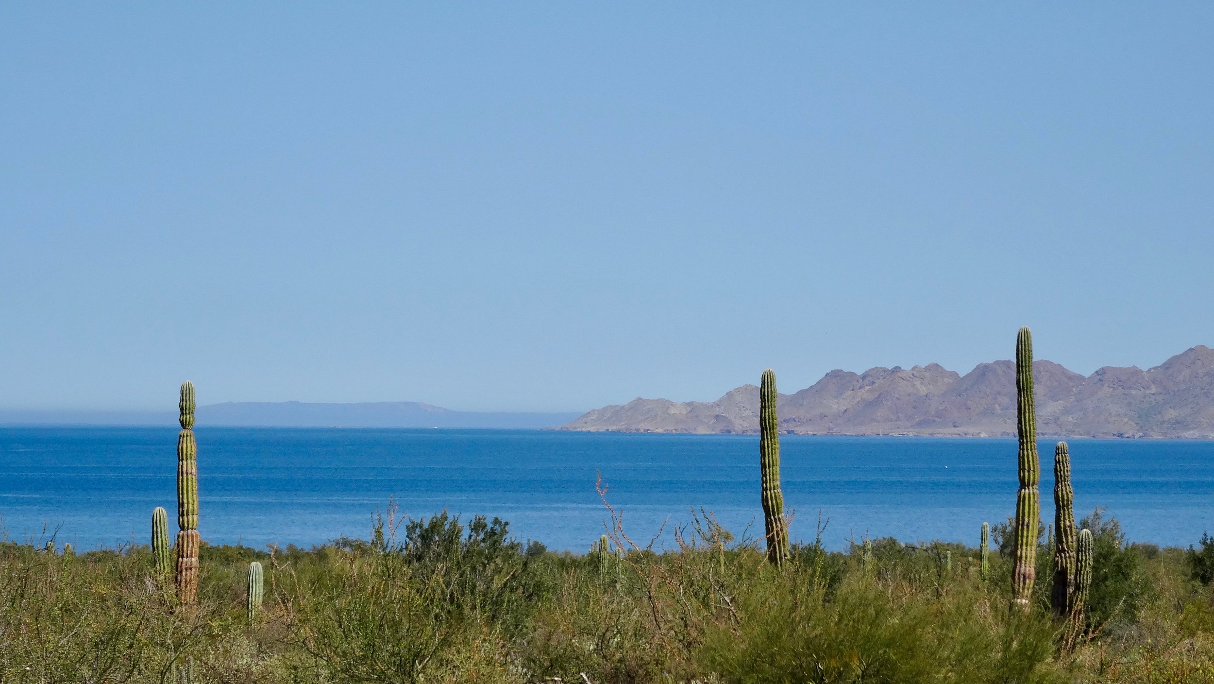
If you’re thinking about escaping the winter blues for a warm-weather bike tour, I’d encourage you to check out Baja California. As an Ohioan who hibernates during the winter, I found everything I wanted in a cold-weather getaway: not one but two coasts, the Pacific Ocean and the Sea of Cortez, plus mountains, plenty of vitamin D, laid-back and kind Mexican hospitality, cheap beer, and tacos de pescado.
There are a few good blog posts that I would recommend if you want more details on how to plan your bike tour or bikepacking adventure:
Baja Divide (95 percent off-road, so make sure you’re using the right bike and equipment)
These posts offer great advice, so I won’t repeat what they’ve already said. What I want to share are some lessons from my trip, along with pictures and videos that might nudge you to buy your ticket to the peninsula right now.
Route and Road Conditions
If you’re sticking to the road, Baja is one of the easiest routes to navigate. It runs in two directions, north and south, so it would be pretty difficult to get lost. I was impressed by the condition of Highways 5 and 1. They appeared to be relatively new, perhaps five to seven years old, or at least that’s what I was told by some of the Americans who come down for the winter months.
When I went in February, I chose to travel from north to south, from Tijuana to San José del Cabo, and had a tailwind 75 percent of the time. Most of the riders I met traveling from south to north were coming from Central and South America, and they talked about how rough the wind was. Wind is a major factor on the peninsula and one that I underestimated, so I was delighted to be traveling from north to south.
One factor I actually prepared for was the narrowness of the roads, along with the traffic and large semi-trucks. Knowing this, I decided to take a bus from Tijuana to San Felipe. This was an attempt to skip the heavier border traffic in the north. In general, traffic was limited on most days, so there was room for me and the vehicles that passed. The bus and semi-truck drivers were very considerate of me and my bike, often waving or encouraging me up a hill. My rule for trucks was simple: If two trucks were passing at the same time, or if a truck coming from behind might have difficulty passing because of a curve or hill, I always got off the road.
The bus network in Baja is really good. If you’re running behind on your itinerary, want to take a few more days off to enjoy la playa, or run into a mechanical issue, you can catch a bus in one of the larger towns to get where you need to go. ABC and Aguila are the main bus companies in Baja. Depending on the amount of passenger luggage, you can store your bike in the luggage compartment as long as you remove the wheels.
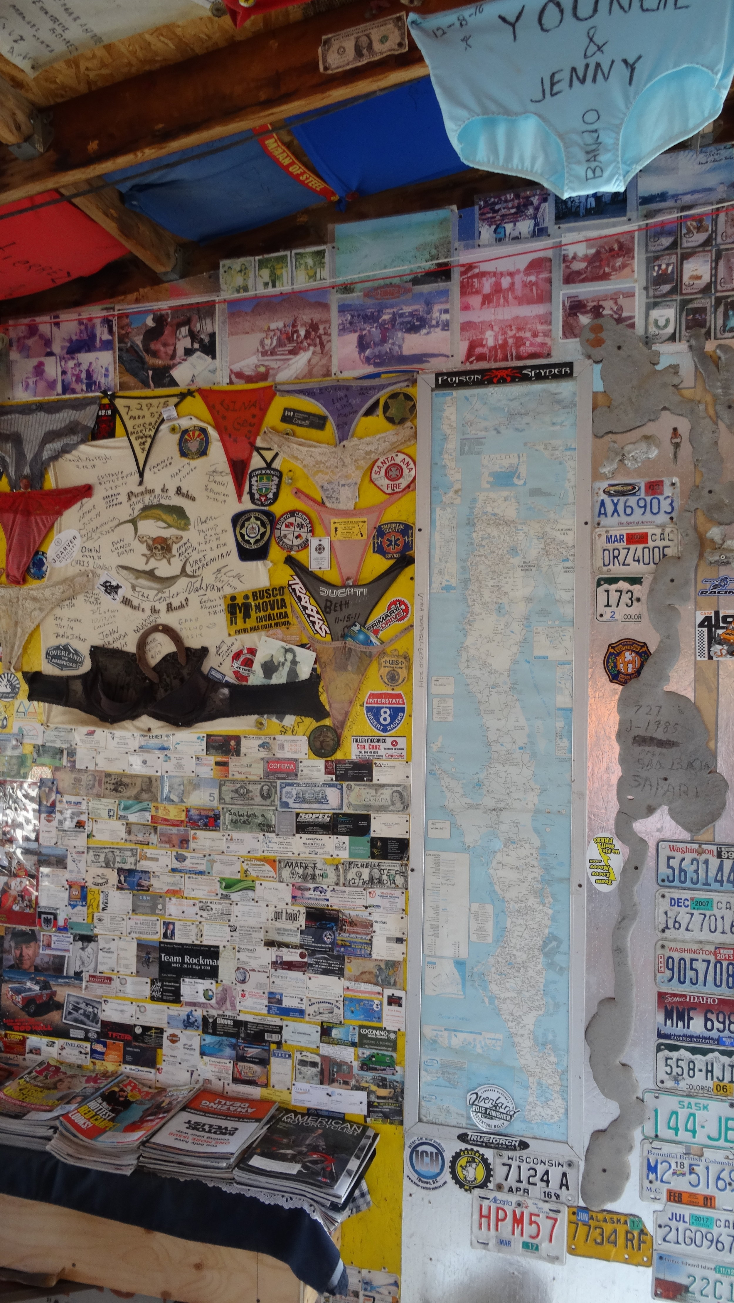
Starting on the Gulf side, along the Sea of Cortez, meant that I would take Highway 5 south and then connect to Highway 1 through Coco’s Corner. There was a roughly 25-mile (40-kilometer) stretch, starting a little before Coco’s Corner and continuing until Highway 1, that was still under construction in February 2017. Although I could have made it through, my 1.4-inch (36-millimeter) tires weren’t ideal for the trail, so I elected to get a ride from my host, Miguel, in Punta Bufeo. From there, I stayed on Highway 1 for most of the way south. Check out my entire route below.
Two Must-Dos
Pet the grey whales. I’m not sure if there is another place in the world where you can pet a whale. These intelligent, playful, and highly curious mammals can reach almost 50 feet in length and weigh 40 tonnes. From my understanding, their curious nature and desire for human interaction are why they allow people to get so close. It’s a beautiful experience that costs around $40, depending on the season.
2. Sleep under the stars on a beach along Bahía Concepción. The entire ride along the bay was one of the most memorable experiences of my tour, but the highlight was sleeping beneath the Milky Way. You can’t imagine how many stars are actually in our galaxy. It was a wow moment that I’ll never forget. I stayed at Playa El Burro and would recommend it because it doesn’t have RV hookups.
Two Equipment Tips
Run tubeless tires. There are cacti everywhere. It is a desert, after all. Even if you stay on the road, there will be broken pieces of cactus and glass that can be unavoidable. If you hit a cactus, as I did, it could end your trip or at least make keeping air in your tires a pain because the needles can be so small. Even if you can tweeze them out, many will break off and work their way through the rubber later, at a more inconvenient time. When I return to Baja, or whenever I ride in a desert environment, I’ll be sure to run tubeless tires after what I learned on this trip.
Be prepared not to find a bike box for the flight home. Even though I was lucky enough to find a bike box minutes from my hotel, there isn’t much inventory in the area. Wrapping your bike in Saran Wrap is an alternative. Idea credit: #BajaDivide on Instagram.
Stats
February 2 to 21, 2017
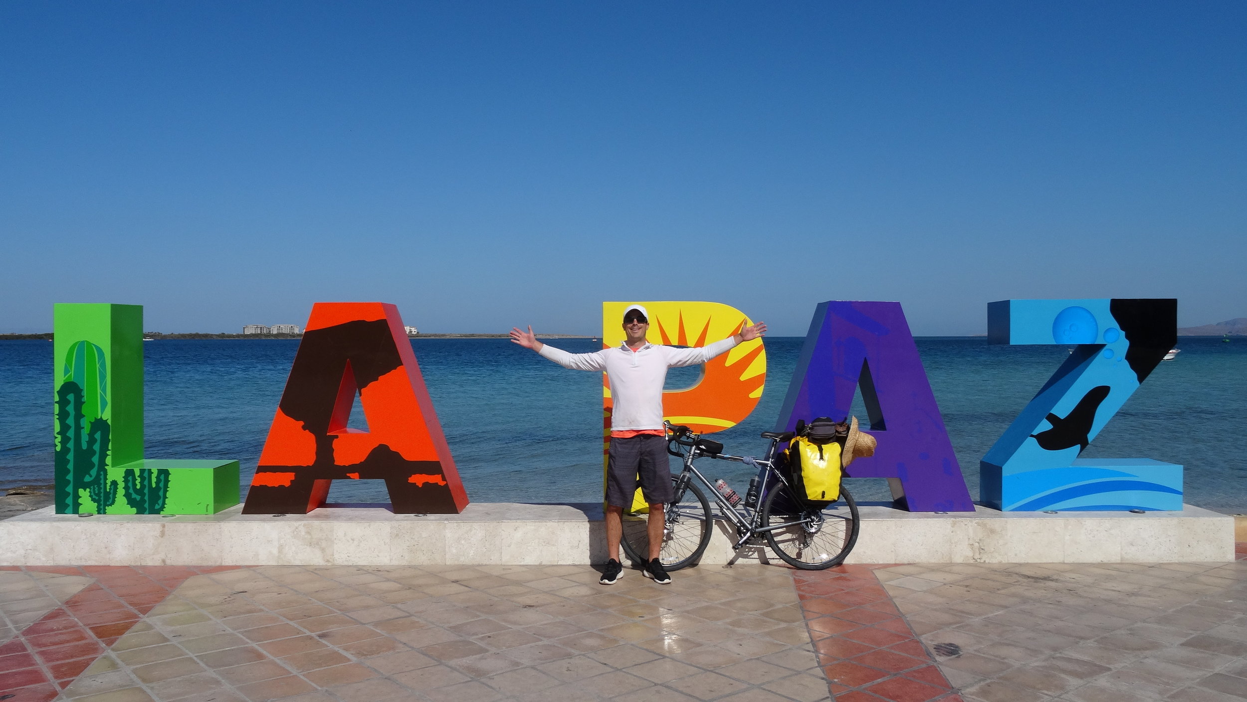
650 miles (1,040 kilometers) by bike
14 days of saddle time
46 miles per riding day, on average
2 bus rides
2 coasts: the Pacific Ocean and the Sea of Cortez
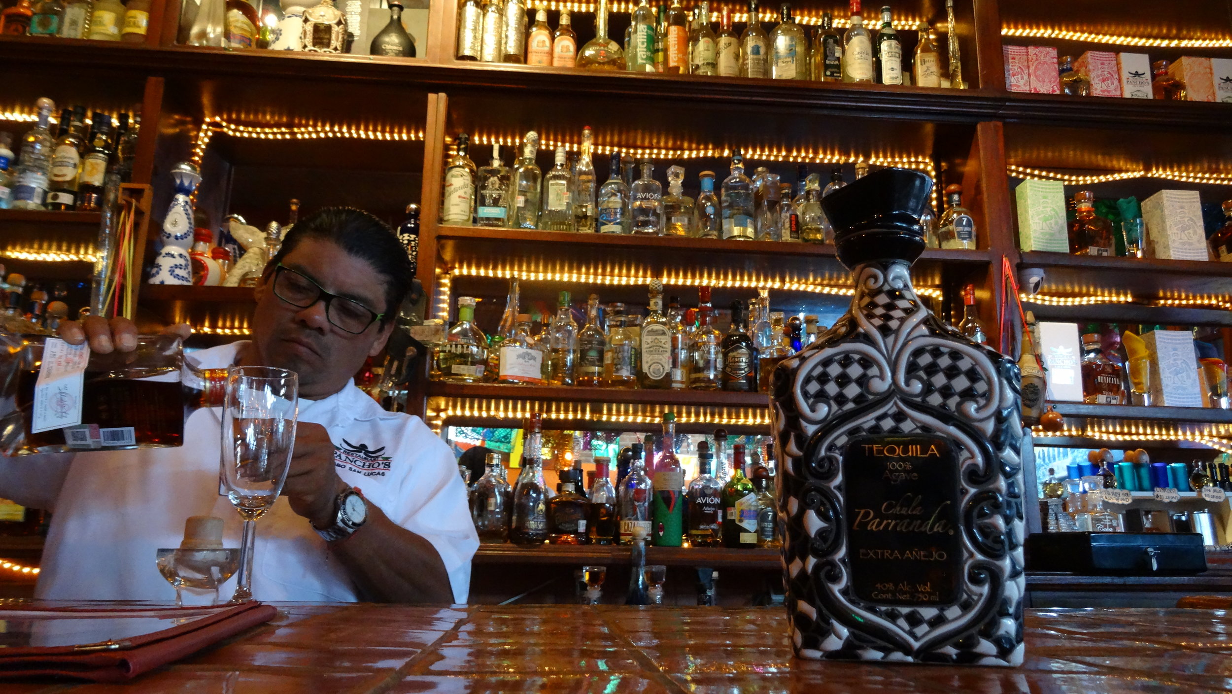
10 different tequilas :)
ESPAÑOL (MÉXICO)
¿TE FALTA VITAMINA D? UN RECORRIDO EN BICICLETA POR BAJA CALIFORNIA ES LA RESPUESTA
Si estás pensando en escapar del frío y la tristeza del invierno con un viaje en bicicleta bajo un clima cálido, te recomiendo conocer Baja California. Como alguien de Ohio que suele hibernar durante el invierno, encontré todo lo que buscaba en una escapada del frío: no una, sino dos costas, el océano Pacífico y el mar de Cortés, además de montañas, mucha vitamina D, la hospitalidad mexicana relajada y amable, cerveza barata y tacos de pescado.
Hay algunas publicaciones muy buenas que recomiendo si quieres más detalles sobre cómo planear tu aventura de cicloturismo o bikepacking:
The Adventure Junkies
Baja Divide (95 por ciento fuera de carretera, así que asegúrate de llevar la bicicleta y el equipo adecuados)
Crazy Guy on a Bike
Baja Insider
Estas publicaciones ofrecen excelentes consejos, así que no repetiré lo que ya explicaron. Lo que quiero compartir son algunas lecciones de mi viaje, además de fotos y videos que quizá te animen a comprar hoy mismo tu boleto a la península.
RUTA Y CONDICIONES DEL CAMINO
Si vas a mantenerte sobre carretera, Baja es una de las rutas más fáciles de seguir. La ruta corre en dos direcciones, norte y sur, así que sería bastante difícil perderse. Me impresionó el estado de las carreteras 5 y 1. Parecían relativamente nuevas, quizá de cinco a siete años, o al menos eso me dijeron algunos estadounidenses que pasan allí los meses de invierno.
Cuando fui en febrero, decidí viajar de norte a sur, desde Tijuana hasta San José del Cabo, y tuve viento a favor aproximadamente el 75 por ciento del tiempo. La mayoría de los ciclistas que conocí viajando de sur a norte venían de Centroamérica y Sudamérica, y me contaron lo duro que había sido el viento. El viento es un factor muy importante en la península y uno que yo subestimé, así que me dio mucho gusto estar viajando de norte a sur.
Un factor para el que sí me preparé fue lo angosto de las carreteras, además del tráfico y los grandes tráilers. Sabiendo esto, decidí tomar un autobús de Tijuana a San Felipe para evitar el tráfico más pesado cerca de la frontera norte. En general, la mayoría de los días hubo poco tráfico, así que había espacio tanto para mí como para los vehículos que pasaban. Los conductores de autobuses y tráilers fueron muy considerados conmigo y con mi bicicleta. A menudo me saludaban o me animaban mientras subía una cuesta. Mi regla con los camiones era sencilla: si dos camiones iban a cruzarse al mismo tiempo, o si un camión que venía detrás podía tener dificultades para rebasarme por una curva o una subida, yo siempre me salía de la carretera.
La red de autobuses en Baja es muy buena. Si vas retrasado en tu itinerario, quieres tomarte unos días más para disfrutar la playa o tienes algún problema mecánico, puedes tomar un autobús en alguna de las ciudades más grandes para llegar a donde necesites. ABC y Águila son las principales compañías de autobuses en Baja. Dependiendo de cuánto equipaje lleven los pasajeros, puedes guardar la bicicleta en el compartimento de equipaje siempre que le quites las ruedas.
Comenzar por el lado del golfo, junto al mar de Cortés, significaba que tomaría la carretera 5 hacia el sur y después conectaría con la carretera 1 pasando por Coco’s Corner. Había un tramo de aproximadamente 25 millas (40 kilómetros), que comenzaba poco antes de Coco’s Corner y continuaba hasta la carretera 1, que todavía estaba en construcción en febrero de 2017. Aunque probablemente habría podido cruzarlo, mis llantas de 1.4 pulgadas (36 milímetros) no eran ideales para ese camino, así que acepté que mi anfitrión, Miguel, me llevara desde Punta Bufeo. A partir de ahí, me mantuve sobre la carretera 1 durante la mayor parte del trayecto hacia el sur. Puedes ver mi ruta completa arriba.
DOS EXPERIENCIAS IMPERDIBLES
1. Acaricia a las ballenas grises.
No sé si exista otro lugar en el mundo donde puedas acariciar a una ballena. Estos mamíferos inteligentes, juguetones y muy curiosos pueden alcanzar casi 50 pies (15 metros) de largo y pesar 40 toneladas. Por lo que entiendo, su curiosidad y su deseo de interactuar con las personas son las razones por las que permiten que la gente se acerque tanto. Es una experiencia hermosa que cuesta alrededor de 40 dólares estadounidenses, según la temporada.
2. Duerme bajo las estrellas en una playa de Bahía Concepción.
Todo el recorrido a lo largo de la bahía fue una de las experiencias más memorables de mi viaje, pero lo mejor fue dormir bajo la Vía Láctea. No puedes imaginar cuántas estrellas hay realmente en nuestra galaxia. Fue uno de esos momentos que te dejan sin palabras y que nunca olvidaré. Me quedé en Playa El Burro y la recomiendo porque no tiene conexiones para casas rodantes.
DOS CONSEJOS SOBRE EL EQUIPO
• Usa llantas sin cámara, o tubeless.
Hay cactus por todas partes. Después de todo, es un desierto. Aunque te mantengas sobre la carretera, encontrarás pedazos de cactus y vidrio que a veces son imposibles de evitar. Si pasas sobre un cactus, como me ocurrió a mí, podría terminar tu viaje o, por lo menos, hacer que mantener aire en las llantas se convierta en un problema, porque las espinas pueden ser diminutas. Incluso si logras sacarlas con pinzas, muchas se romperán y más adelante atravesarán el caucho, probablemente en un momento todavía menos conveniente. Cuando regrese a Baja, o siempre que vuelva a rodar en un entorno desértico, usaré llantas tubeless por lo que aprendí en este viaje.
• Prepárate para no encontrar una caja para bicicleta para el vuelo de regreso.
Aunque tuve la suerte de encontrar una caja para bicicleta a unos minutos de mi hotel, no hay muchas disponibles en la zona. Una alternativa es envolver la bicicleta con plástico autoadherente, como Saran Wrap. Crédito por la idea: #BajaDivide en Instagram.
DATOS DEL VIAJE
• Del 2 al 21 de febrero de 2017
• 650 millas (1,040 kilómetros) en bicicleta
• 14 días pedaleando
• Un promedio de 46 millas (74 kilómetros) por día de recorrido
• 2 viajes en autobús
• 2 costas: el océano Pacífico y el mar de Cortés
• 10 tequilas diferentes :)